

The Netherlands: A Pioneer in Satellite Technology – From Environmental and Water Management to Smart Agriculture”
The Netherlands is a pioneer in satellite technology: from environmental and water management to smart agriculture
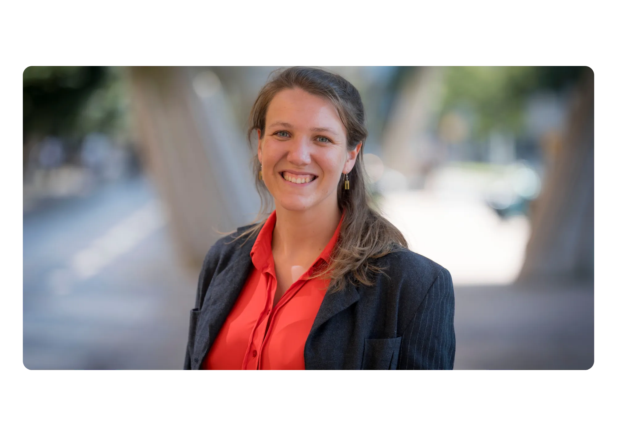
Satellites have a huge impact on our daily lives here on earth. They are used to make our lives more efficient, safer and more sustainable. Coco Antonissen, programme manager at the Netherlands Space Office (NSO) explains how the Netherlands successfully applies this technology to tackle societal challenges.
Space policy in the Netherlands
The NSO implements the space policy of the Netherlands and advises ministries on space-related matters. An important part of this policy concerns stimulating the use of space technology, such as satellites. ‘We have many satellites in use worldwide, but they are not yet being used optimally. With our programme we try to stimulate this further.’
Innovation trajectories and collaboration
One of the ways in which the NSO stimulates the use of satellite data is by setting up innovation trajectories. This is done in collaboration with government agencies and companies that specialise in the analysis of satellite data. Such a process often starts with a question from the government: what information do we need to better implement certain policies? NSO then examines whether satellite data can help with this.
Collaboration between government and companies is important in this respect to convert satellite data into usable information. ‘NSO tries to bridge the gap between what the government needs and what companies can offer,’ says Antonissen. ‘The government is responsible for transparent and fair processes. Data analysis is partly done in-house, but we also need companies and knowledge institutions that are specialized in analyzing satellite data in order to be able to innovate quickly.’
The Netherlands is a leader in air quality and environmental monitoring
The Netherlands is a leader in developing satellites that map the atmosphere and monitor air quality. This not only helps to identify major polluters worldwide, but also to take preventive measures. ‘We can see exactly where pollution is taking place and take action on it,’ says Antonissen.
Satellites in agriculture
Farmers are also increasingly using satellite data, often without being aware of it. ‘Many farmers have an app in their tractor that indicates, for example, how much pesticides they should use on a certain piece of land,’ explains Antonissen. ‘This is fully automated and partly based on satellite data.’ This helps farmers to work more sustainably by only using pesticides and water where necessary, which minimizes the impact on the environment.
Satellites from the European Copernicus program regularly take images of the Netherlands and the rest of the world, allowing you to follow the development of crops over time. ‘Satellite images can also show things that you cannot see with the naked eye,’ explains Antonissen. ‘For example, how much evaporation there is, which in turn influences irrigation decisions.’
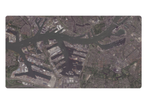
Satellites for water management
In addition to agriculture, satellites also play a crucial role in water management, a subject that is very important in the Netherlands as a water country. ‘Satellites can monitor where the water is high and where it is not,’ says Antonissen. ‘By combining data on soil moisture and weather forecasts, we can predict flooding, for example.’ This type of information is important for water managers, who can anticipate in time by opening locks or pumping away water.
Satellites in everyday life
Many people do not realise that they are constantly using satellite data. ‘You use navigation satellites such as GPS and Galileo to get from A to B, but these satellites also provide a new time signal that is essential for PIN transactions,’ says Antonissen. ‘People have no idea how dependent they are on satellites, but without satellites our world would look very different.’
The future: more data, smarter analyses
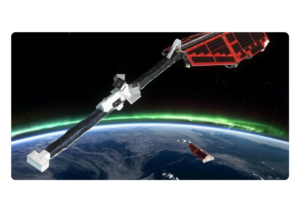
When it comes to the future of satellite technology, Antonissen mentions a few promising developments. ‘AI is playing an increasingly important role in satellite data analysis,’ she explains. ‘This allows us to analyse and interpret data much better and faster.’ She also points to the new Dutch satellite mission TANGO, which will provide detailed information about emissions in a few years.
Antonissen also sees a trend in which satellites themselves are already doing some of the data analysis. ‘Instead of sending a complete image to Earth, the satellite can already make an analysis and, for example, send a warning if there is a forest fire. This makes the information processing much more efficient and faster.’
The Netherlands Space Office (NSO) is one of the main sponsors of the XXXV Planetary Congress of the Association of Space Explorers. Monday 30 September will be entirely dedicated to the Netherlands as a space nation.